Cherohala Skyway
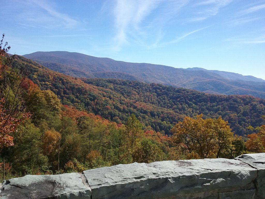
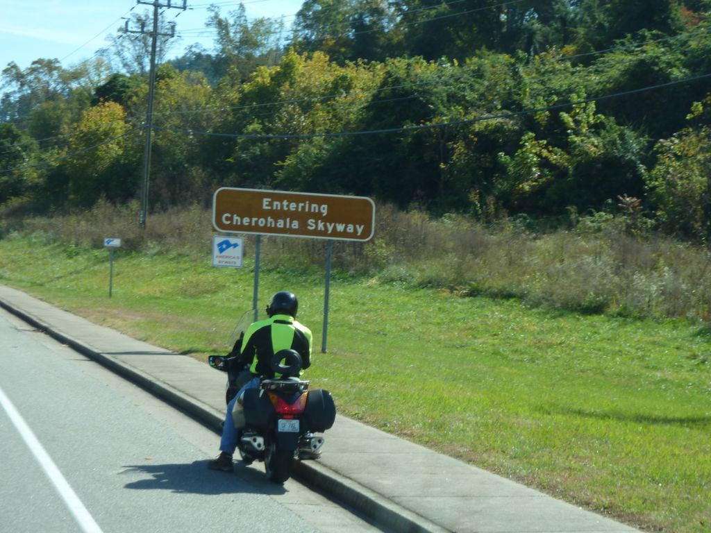
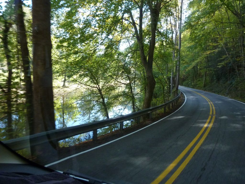
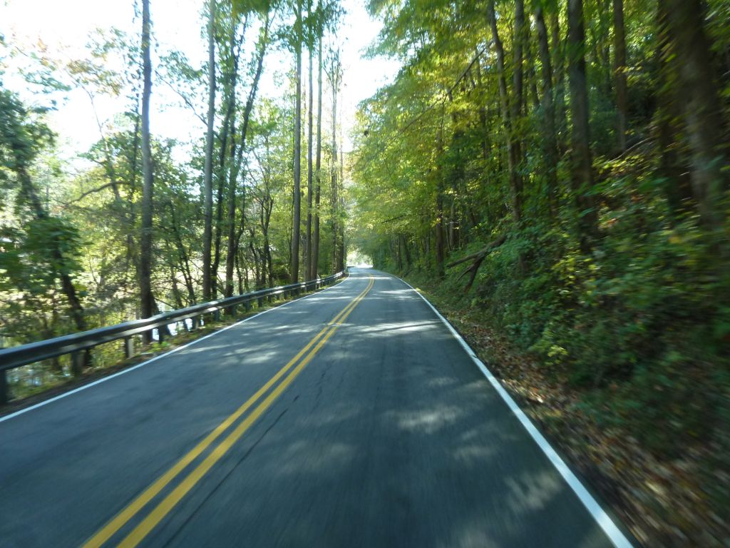
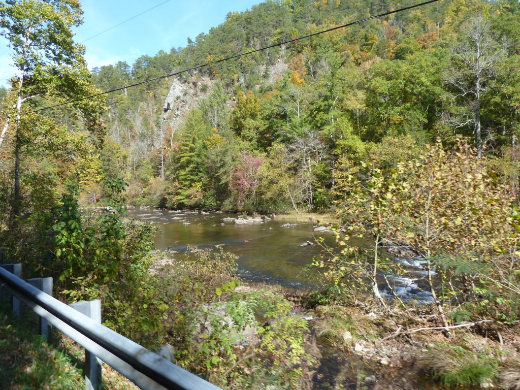
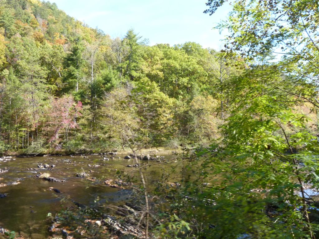
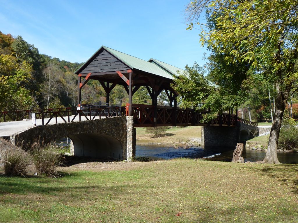
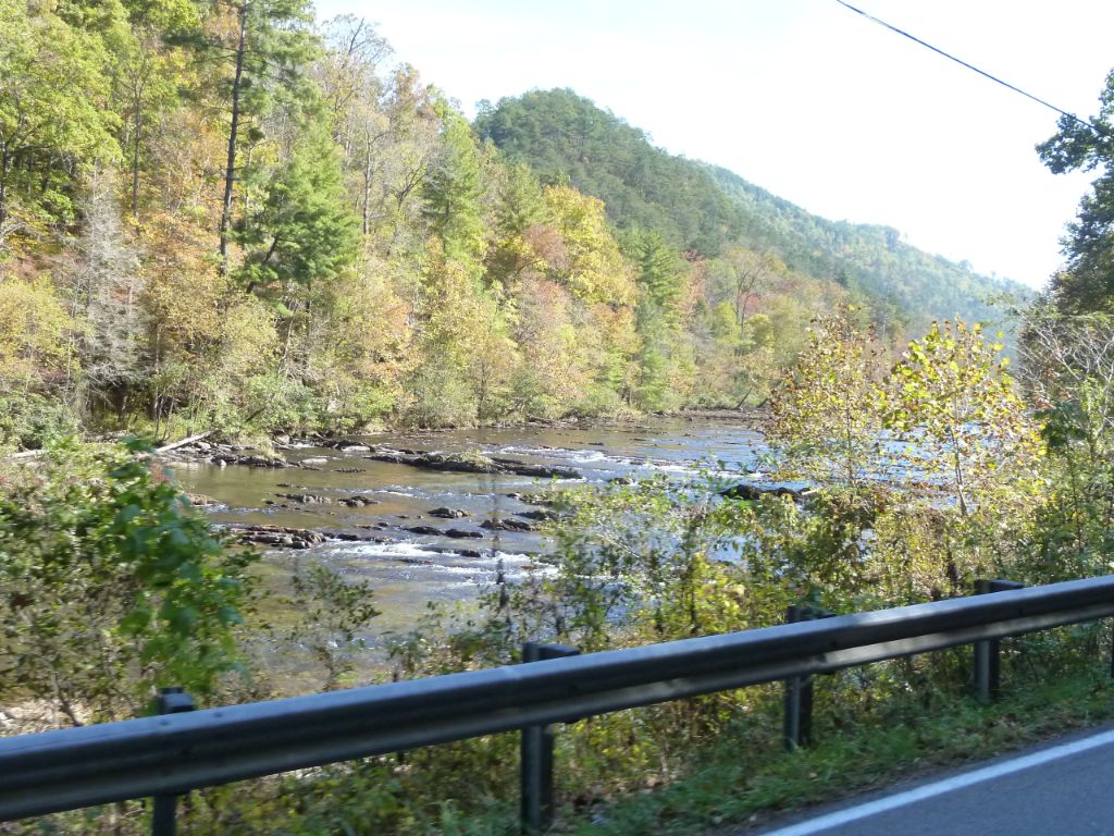
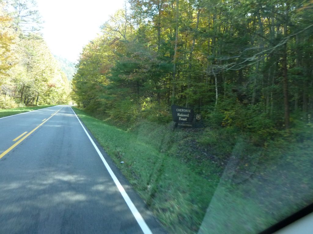
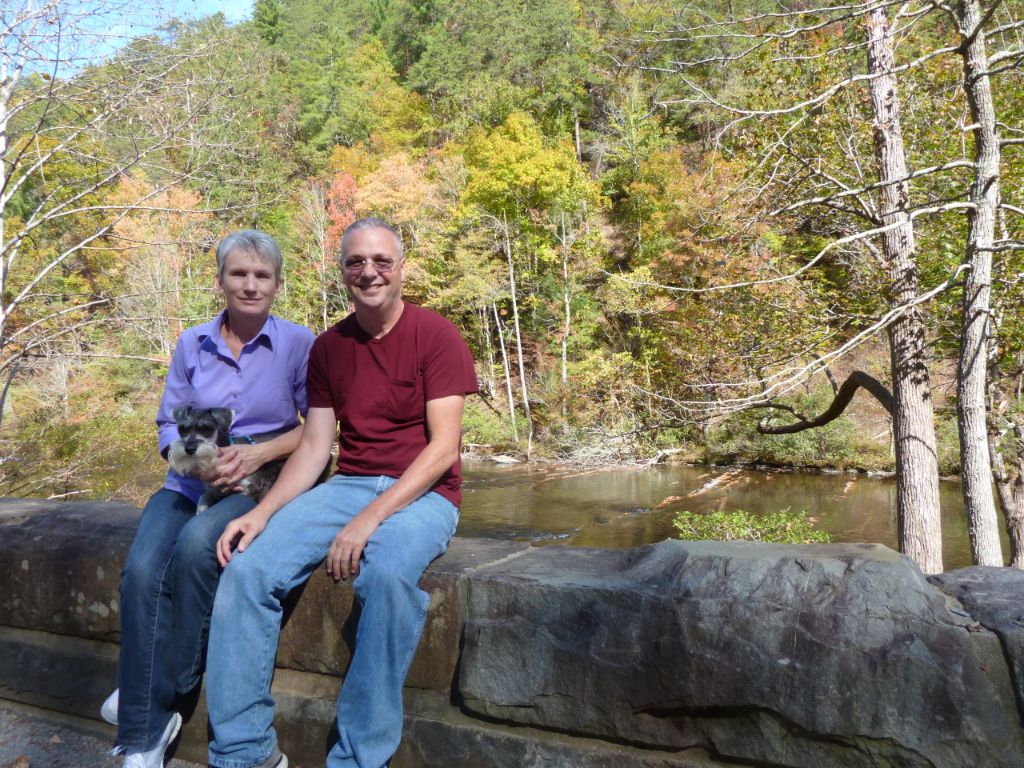
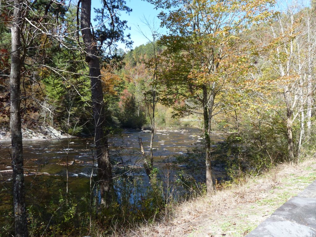
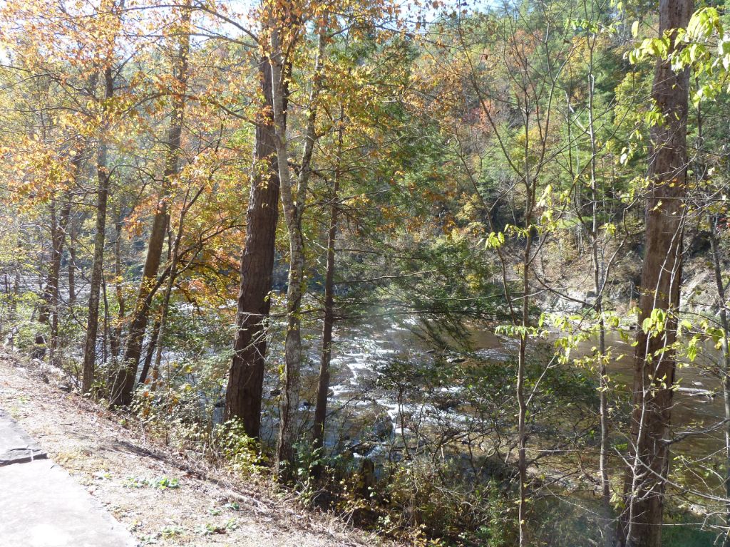
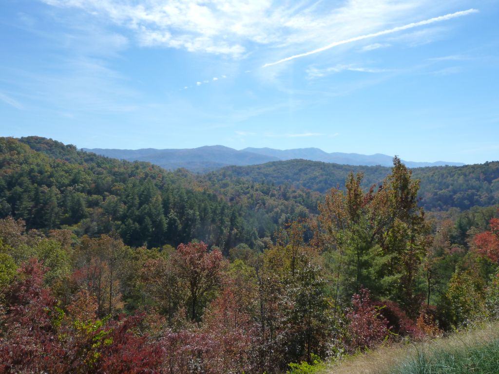
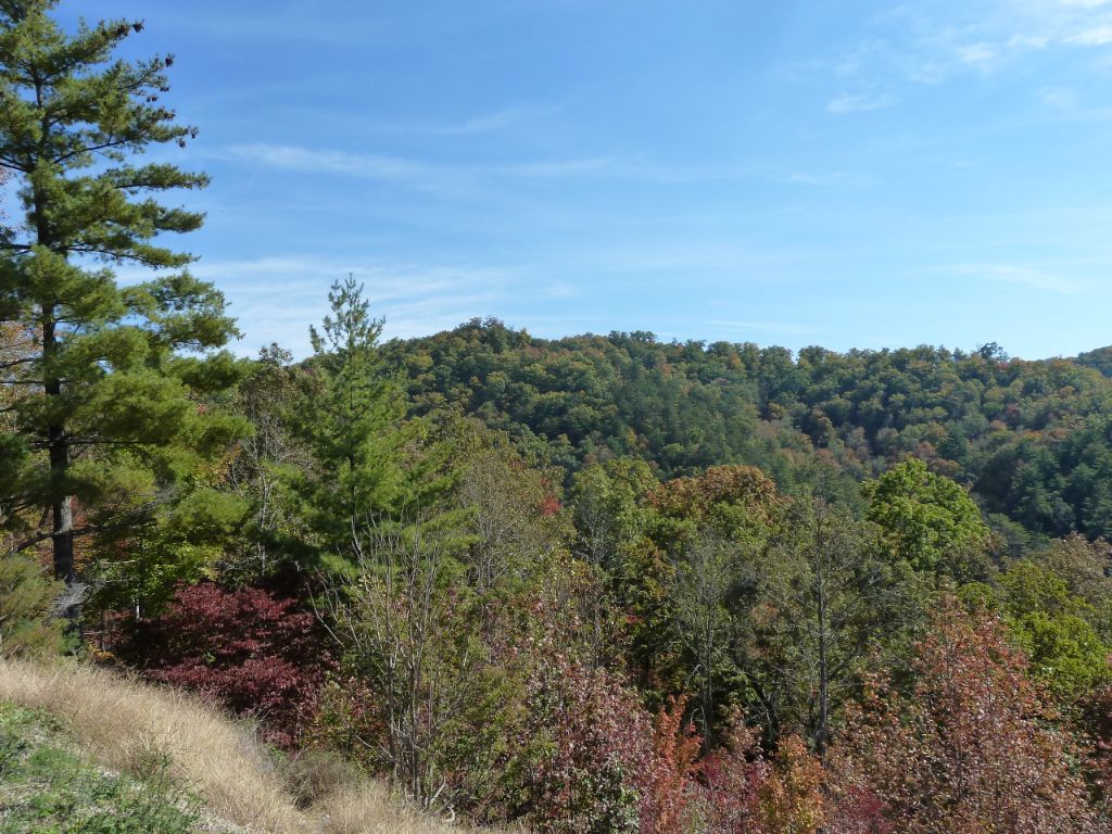
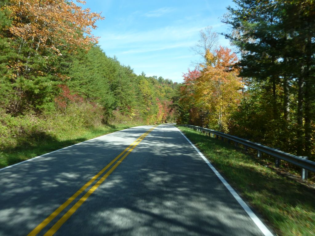
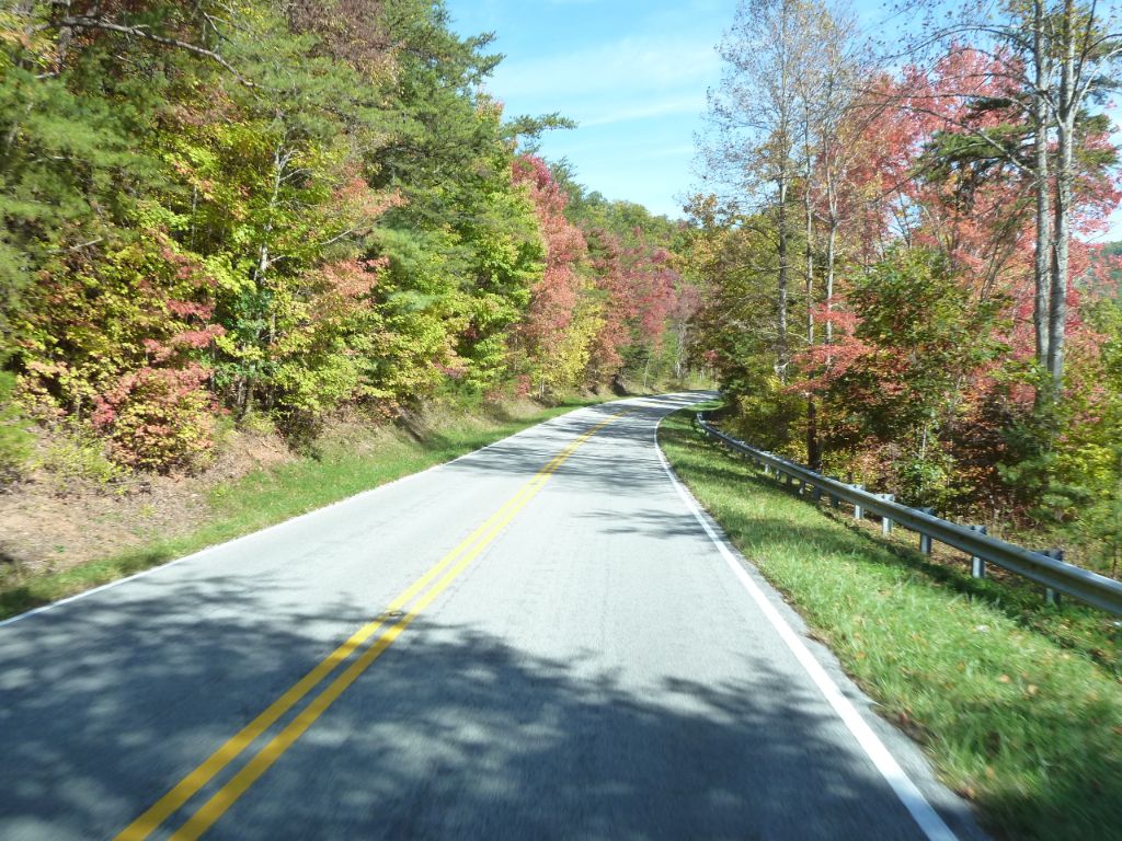
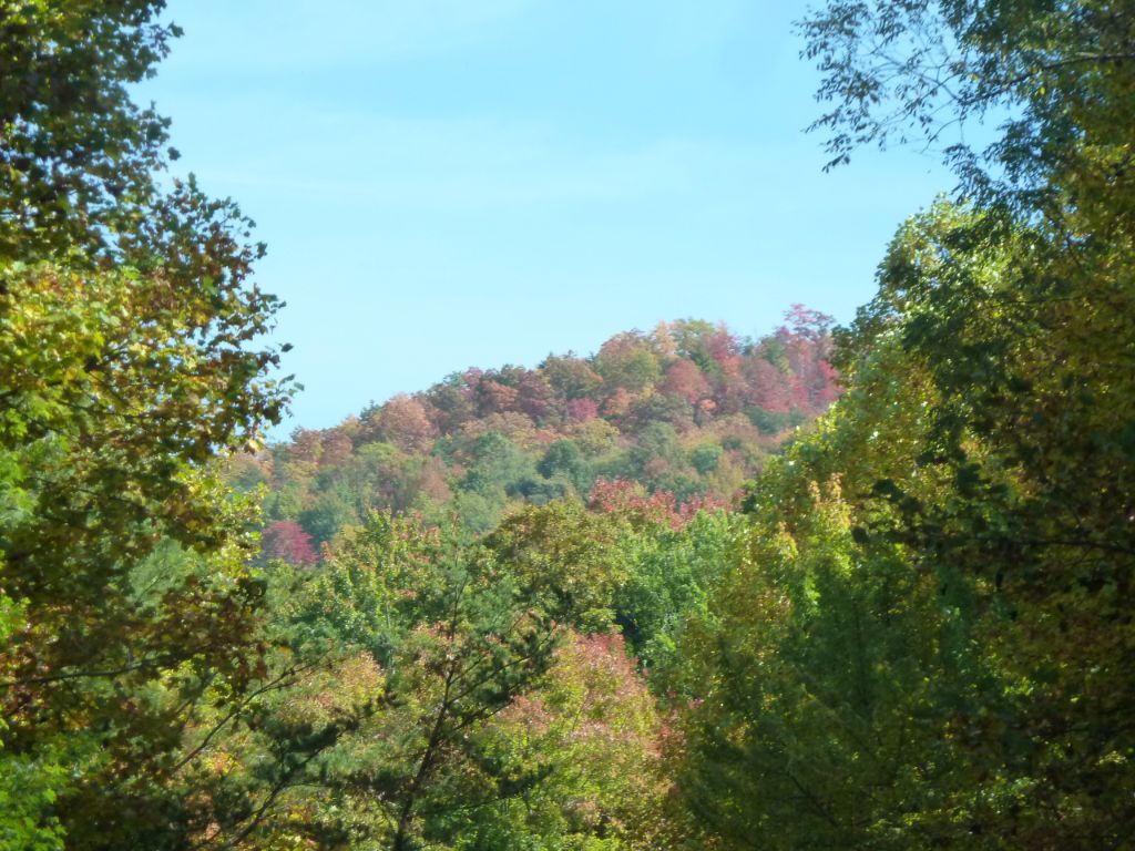
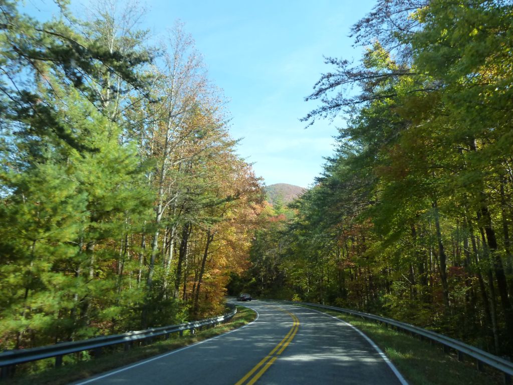
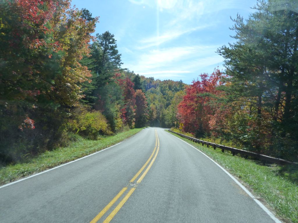
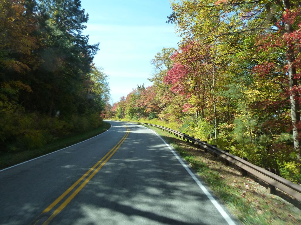
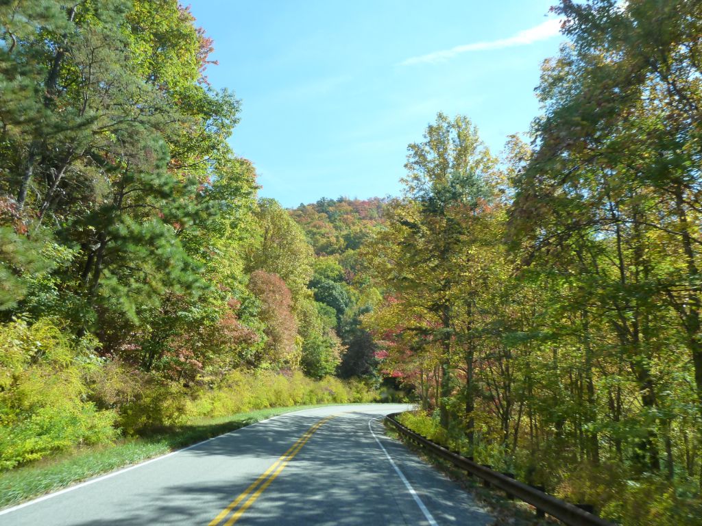
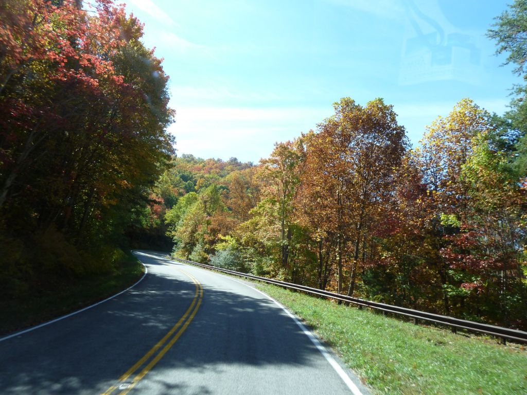
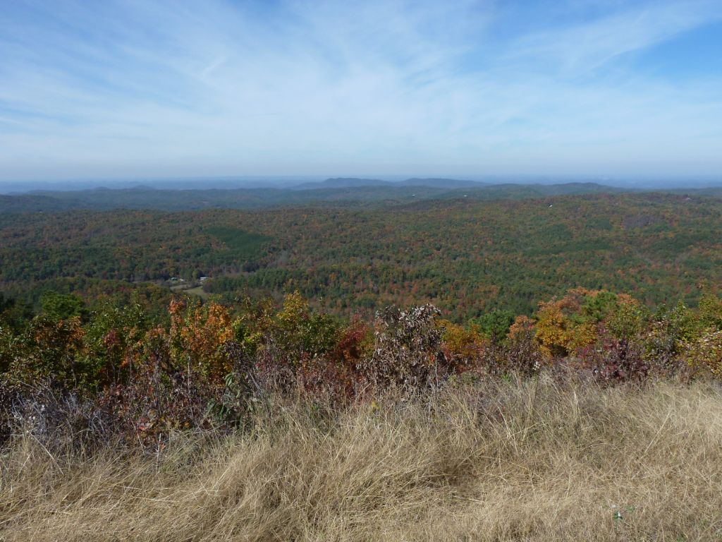
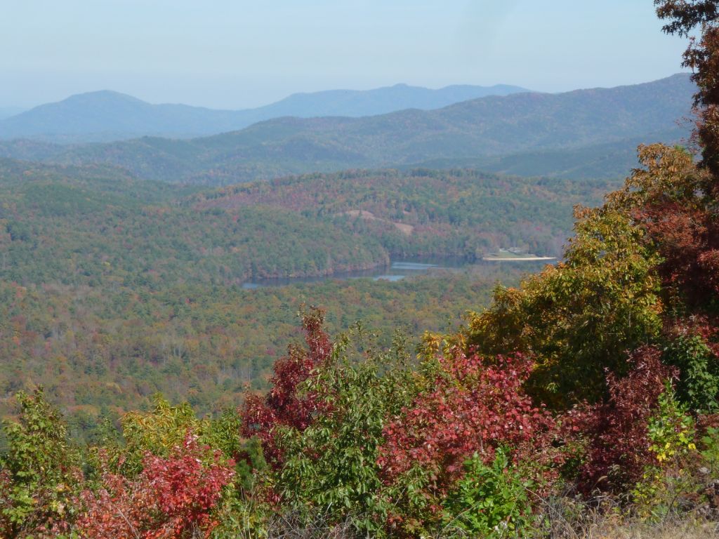
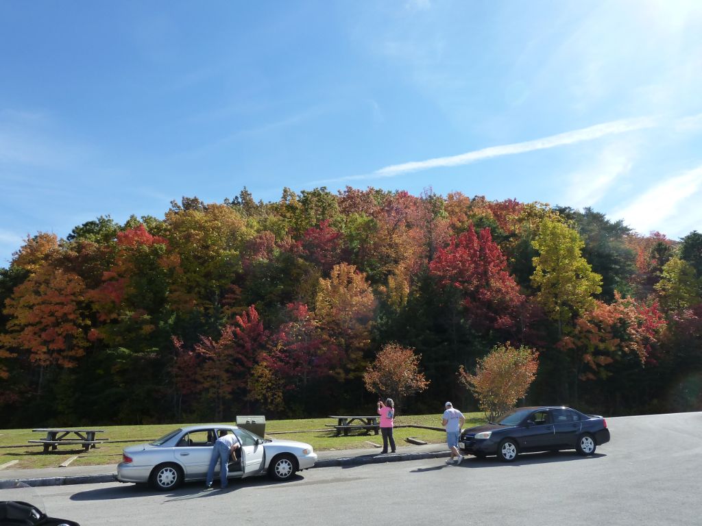
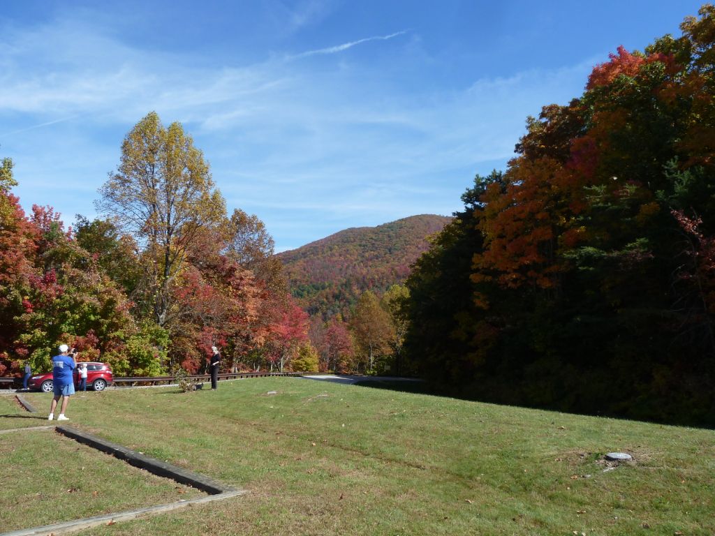
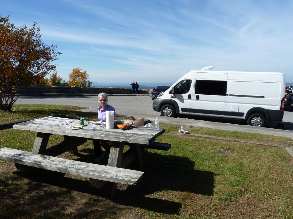
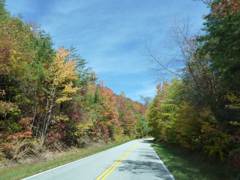
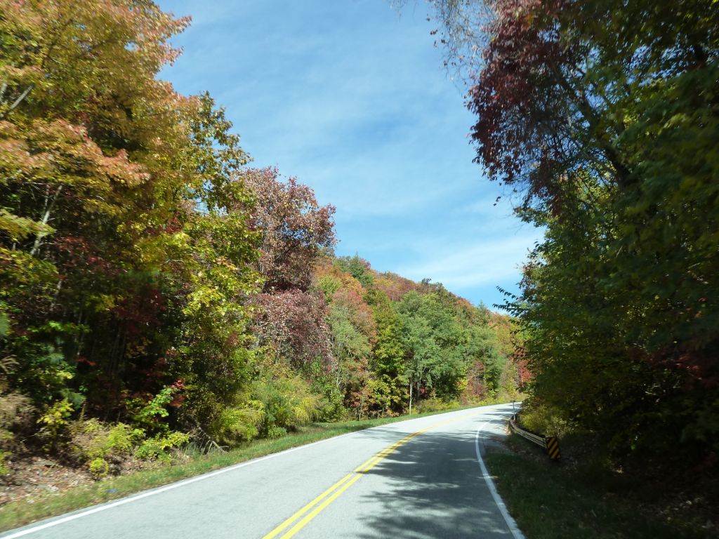
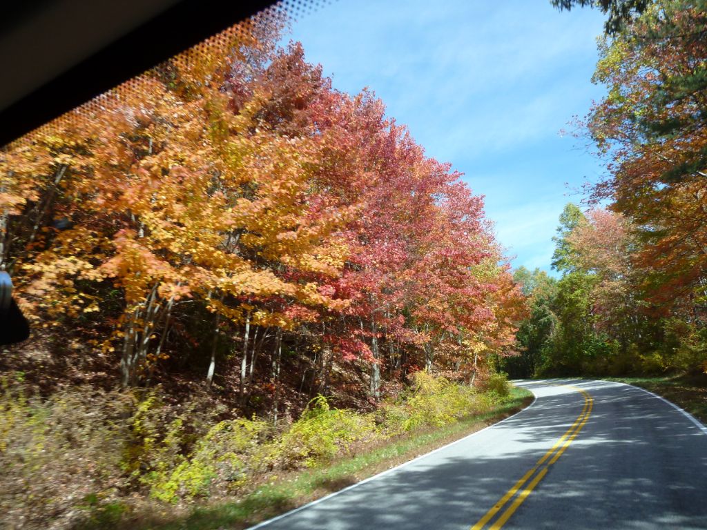
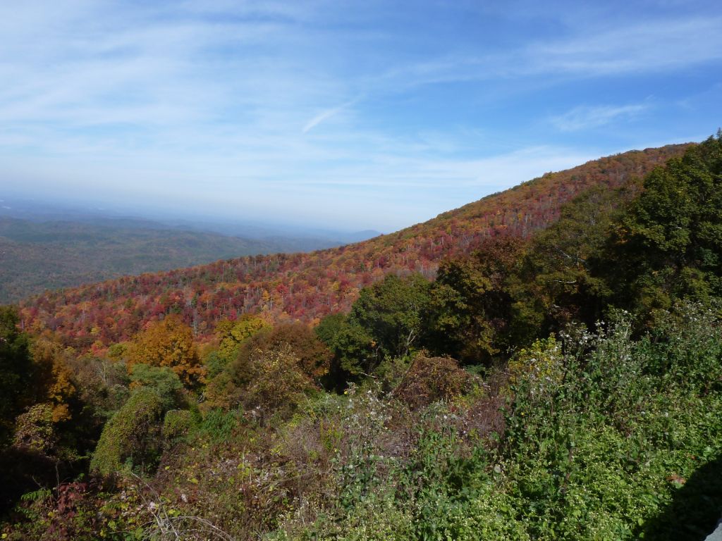
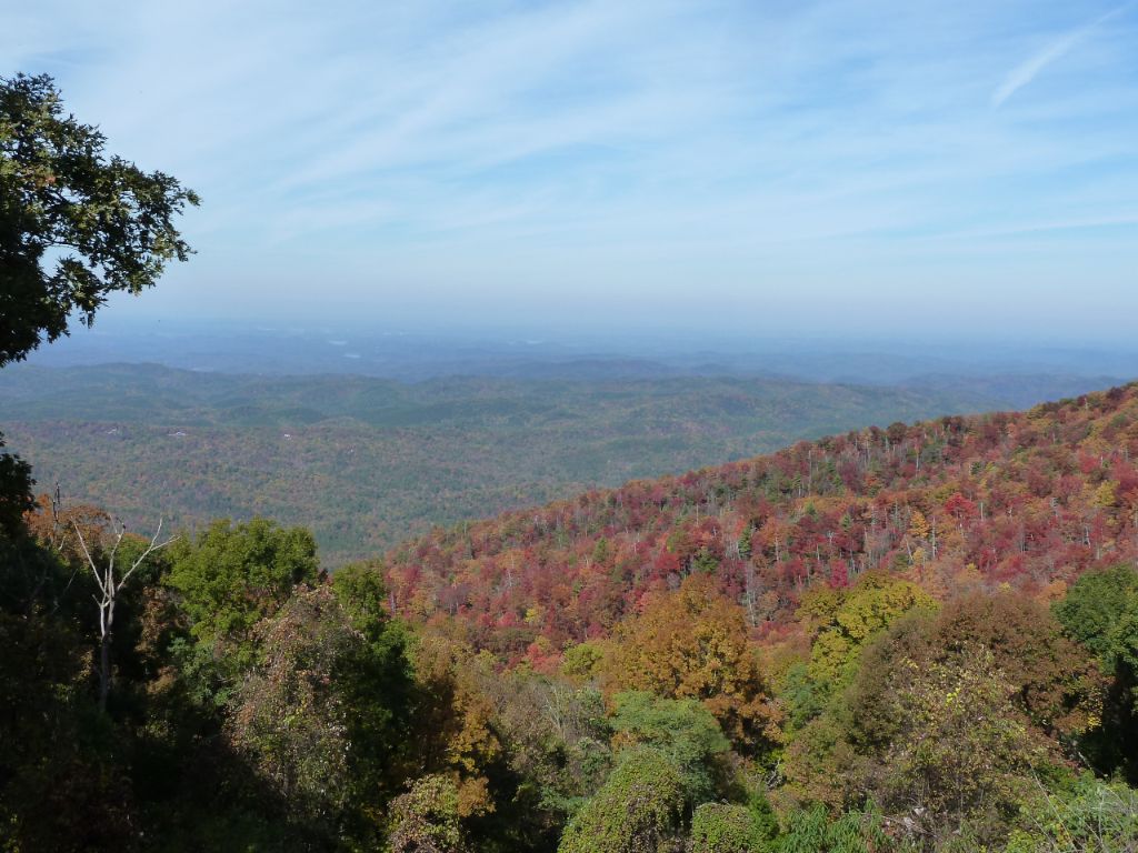
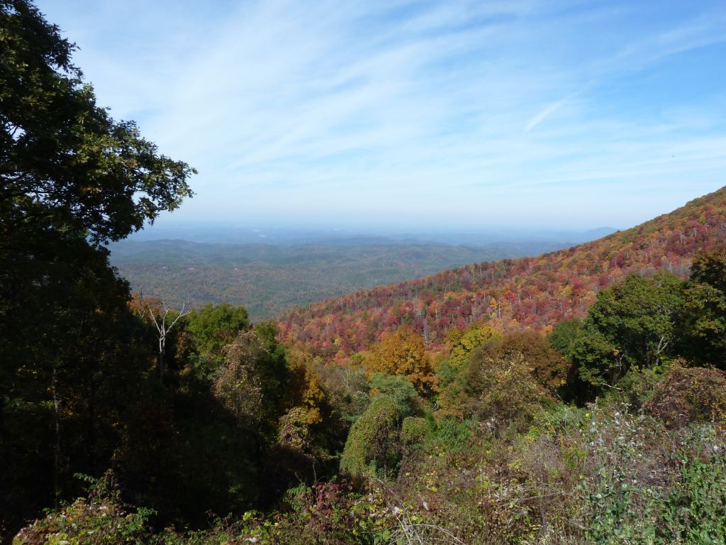
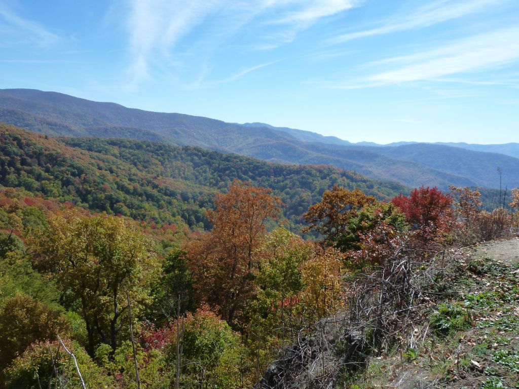
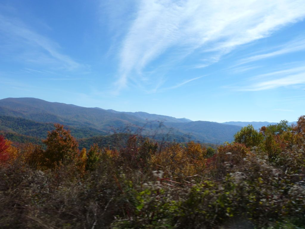
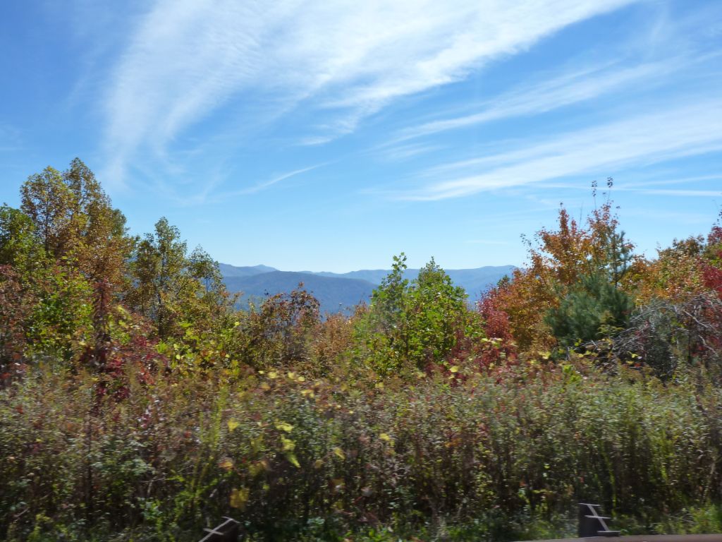
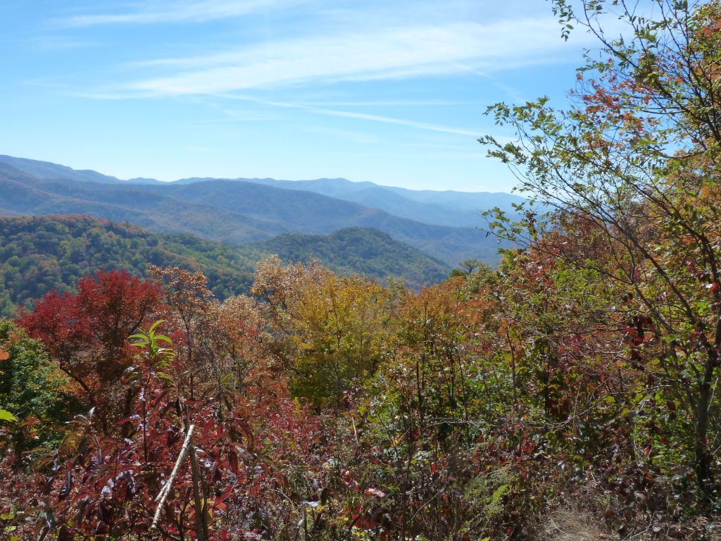
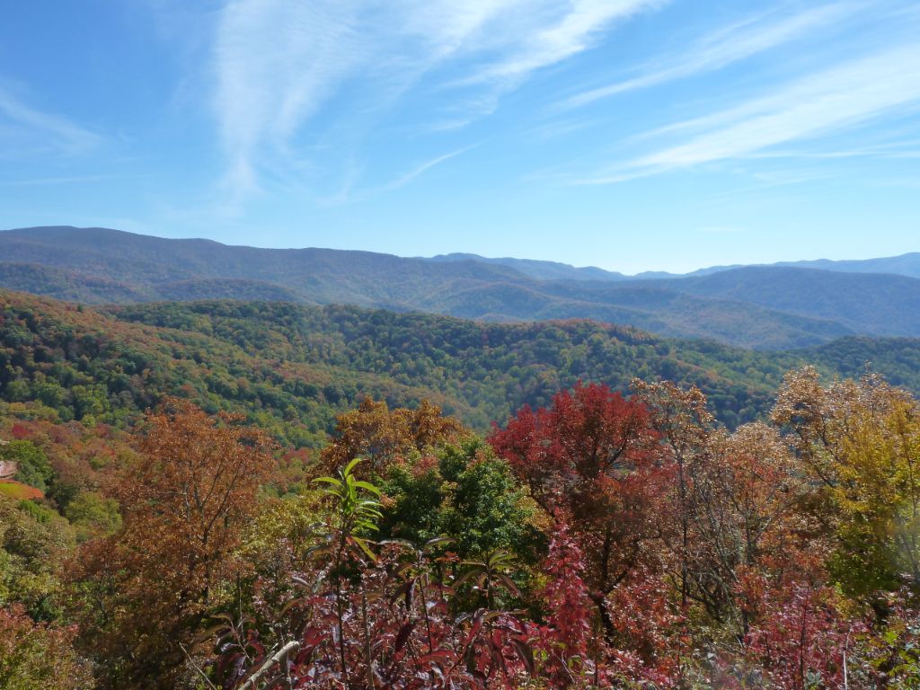
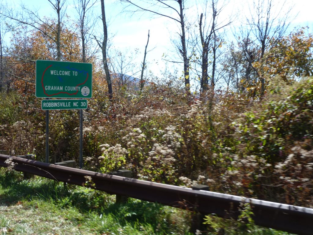
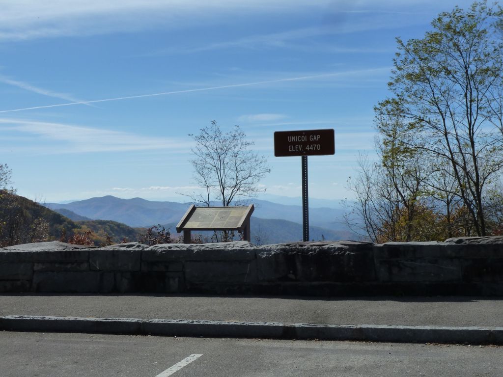
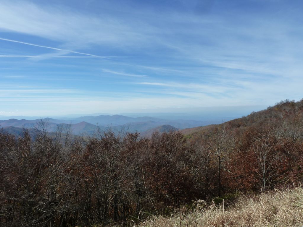
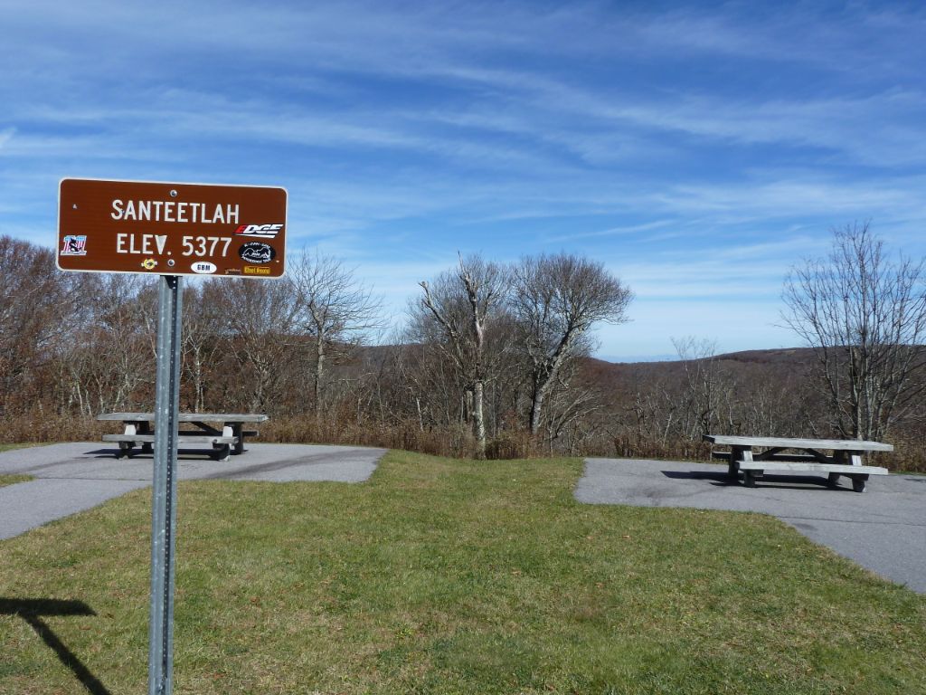
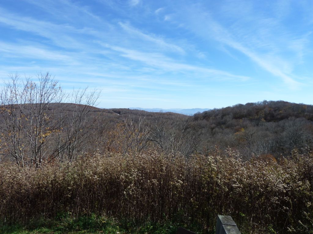
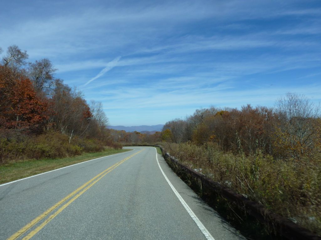
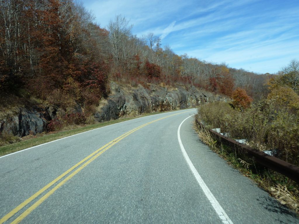
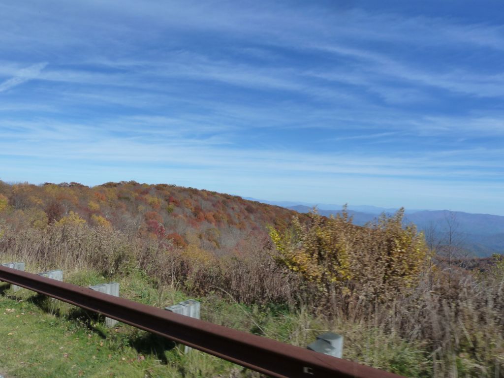
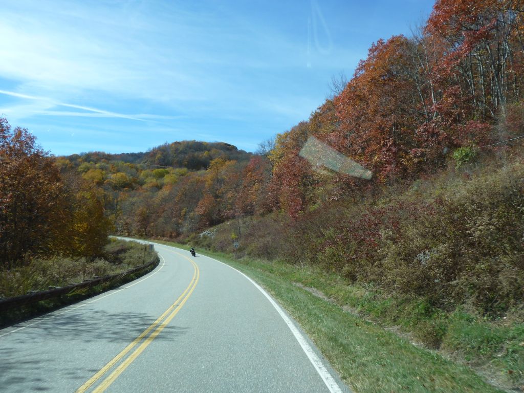
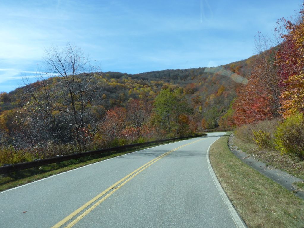
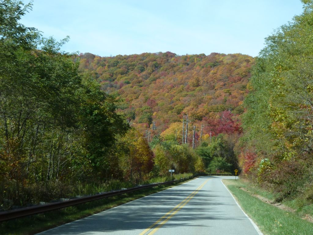
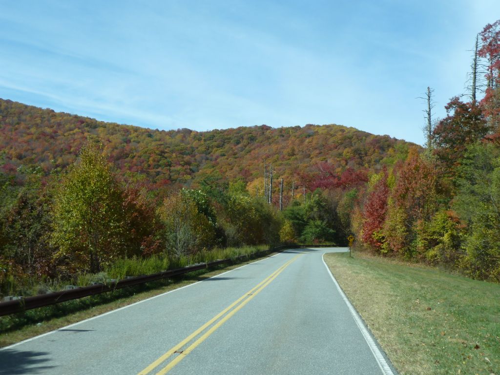
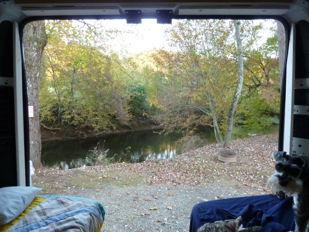
The Cherohala Skyway was opened and dedicated in 1996. The road has been designated a National Scenic Byway. The road cost over 100 million dollars to construct. The Cherohala Skyway crosses through the Cherokee National Forest in Tennessee and the Nantahala National Forest in North Carolina. The name “Cherohala” comes from the names of the two National Forests: “Chero” from the Cherokee and “hala” from the Nantahala. The Cherohala Skyway is located in southeast Tennessee and southwest North Carolina. The Skyway connects Tellico Plains, Tennessee, with Robbinsville, North Carolina, and is about 40+ miles long. The Cherohala Skyway is a wide, paved 2-laned road maintained by the Tennessee Department of Transportation and the North Carolina Department of Transportation. The elevations range from 900 feet above sea level at the Tellico River in Tennessee to over 5400 feet above sea level at the Tennessee-North Carolina state line at Haw Knob.We visited here in 10/2015.